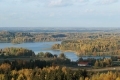
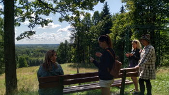
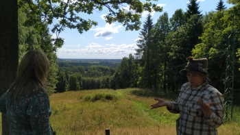
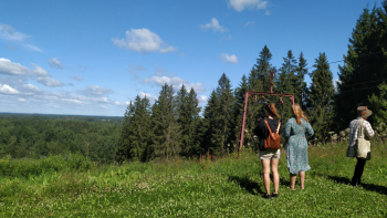
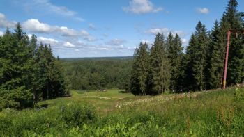
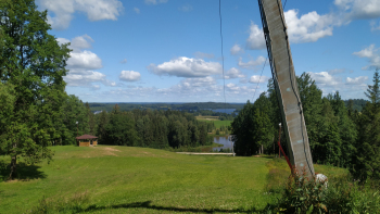
Gaiziņkalns is the highest hill in Latvia. The absolute height of the hill is 311.94 m above sea level, the relative height - 61.6 m, it is 1 km long and 650 m wide. Gaiziņkalns is surrounded by the nature park “Gaiziņkalns”. The Nature Park is located in Madona region, Vestienas, Bērzaunes and Aronas districts and it covers area of 2026 ha. The nature park “Gaiziņkalns” is located in the territory of protected landscapes "Vestiena".
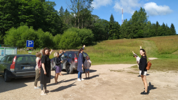
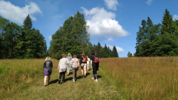
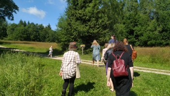
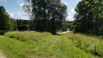
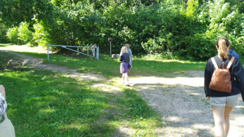
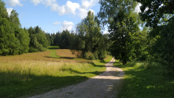
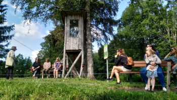
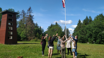
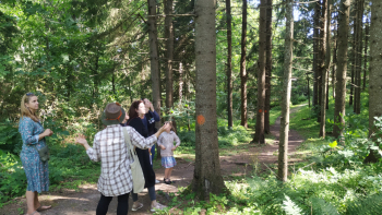
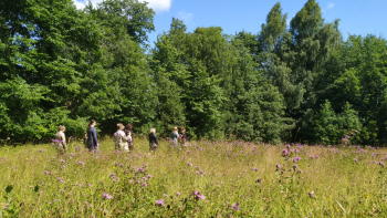
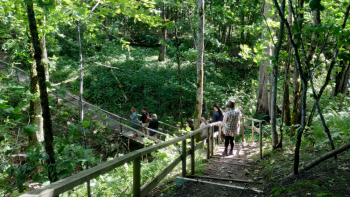
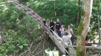
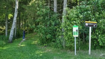
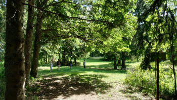
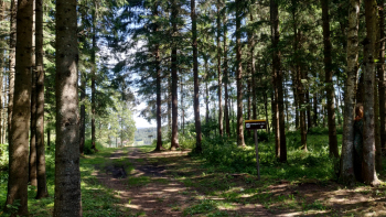
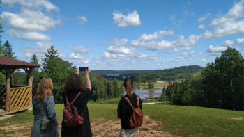
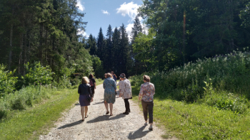
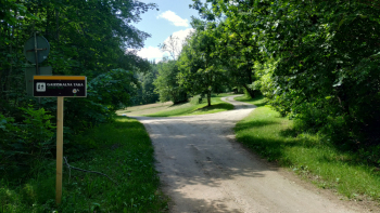
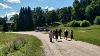
Nature trail. Visitors can walk along the 2 km long nature trail that leads over the top of the hill in one direction, and runs along the scenic path of the foothill in the other direction. Services provided by a guide in Gaiziņkalns and its surroundings - Danuta Kiopa, tel. 29453973.
Audio guide.
Open or download the izi.TRAVEL app and search for the ![]() walking route "Gaiziņkalna trail"
walking route "Gaiziņkalna trail" ![]() "Tere tulemast Gaizinšile".
"Tere tulemast Gaizinšile".
The app will show your location and the nearest place to start your walk from.
There are six audio story sites marked on the map.
The app will locate you and start playing the audio story itself.
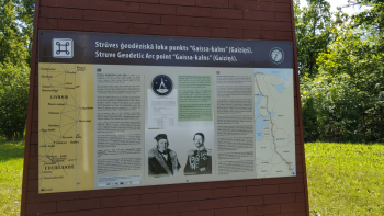
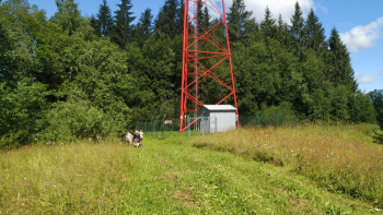
Struve Geodetic Arc location “Gaissa-kalns” There are 16 Struve Geodetic Arc locations in Latvia and one of them is point “Gaissa-kalns”. Measurements were made from 1816 to 1855.
* The Struve Geodetic Arc (SGA) is a unique 19th century geodetic survey system for determining the size and shape of the Earth. It was carried out by the professor of astronomy Friedrich Georg Wilhelm von Struve and the military topographer Colonel Carl Friedrich Tenner between 1816 and 1855.
* The Arc extends approximately along the 26° meridian from Hammerfest on the shores of the Arctic Ocean in Norway to the town of Izmail near the mouth of the Danube River at the Black Sea, crossing the territory of 10 countries: Norway, Sweden, Finland, Russia, Estonia, Latvia, Lithuania, Belarus, Ukraine and Moldova. The total length of the Arc is 2822 km. The measured meridian circle includes 25º 20´ of the circumference of the Globe.
* The Geodetic Arc of Struve consists of 258 triangulation triangles. 265 main points and 60 auxiliary points were established, as well as coordinates were determined for 13 points. The distance between the points is 30 - 40 km. The Arc surveying started from the Tartu Observatory. The relative accuracy of the measurements was very high – only 4 mm error per kilometre.
* The scientific purpose of SGA was to clarify the flattening of the Earth in the direction of the poles according to Newton's theory. The practical purpose of SGA: to perform measurements and to obtain data in order to do mapping of Tsarist Russia and the Kingdom of Sweden. The political purpose of SGA: triangulation was the "great science" of the 19th century – country participation in the survey raised its political and military prestige.
* The observations of Struve's Geodetic Arc were led by two outstanding personalities of that time:
* Friedrich Georg Wilhelm von Struve (1793 - 1864) was an astronomer of German origin, a professor at the University of Tartu and the director of the Tartu and Pulkovo observatories. In 1831, he was appointed as a royal adviser to the Russian Empire, as well as a nobleman, and since then, his surname has been "von Struve".
* Karl Friedrich Tenner (1783 - 1859) was a military surveyor of German origin. From 1809 to 1811, he participated in the formation of the first triangulation networks in the Russian Empire. During the period from 1816 to 1822, he was assigned to triangulate the provinces of Vilnius, Courland, Grodno and Minsk. In 1832, he was appointed as an honorary member of the St. Petersburg Academy of Sciences.
* Latvia was the only territory where both surveyors – Struve and Tenner – conducted surveys. Struve installed 11 points in the Northern part of Latvia – from the point Oppekaln to the point Jacobstadt. Tenner created 5 points in the Southern part of Latvia – from the point Pilkaln to the point Bristen. Two of the 16 points in the territory of Latvia are shared geodetic-astronomical points – Jacobstadt and Bristen, where observations have been made and the coordinates of the points have been determined. The performed measurements were one of the first trigonometric measurements in the territory of Latvia, serving as the basis of which the map of Vidzeme was compiled.
* In 2005, the Struve Geodetic Arc was included in the UNESCO World Heritage List as a unique, the longest and most accurate system of geodetic surveys of its time and as an outstanding testimony to the scientific, historical and technical development of its time. The UNESCO World Heritage List includes a total of 34 points in the Struve Geodetic Arc. From the points of the SGA located in the territory of Latvia, the points located in Jēkabpils and Ziestukalns are included in the UNESCO World Heritage List.
* In Latvia, the Struve Geodetic Arc Preservation and Development Council has been established, which consists of representatives of the Latvian Geospatial Information Agency, the Latvian National Commission for UNESCO, the National Cultural Heritage Board and 11 local governments in whose territories the SGA points are located.
 © 2008-2025 Madonas Tūrisma informācijas centrs. Visas tiesības aizsargātas. Izgatavoja
GlobalPro
»
© 2008-2025 Madonas Tūrisma informācijas centrs. Visas tiesības aizsargātas. Izgatavoja
GlobalPro
»